Building a three-dimensional model of the Flat Earth for the Flataverse app was an exciting challenge that required a lot of creativity and science. Typically, most people are familiar with globes or spherical models of Earth. However, our goal was to create a model that fits the flat Earth theory. Here’s how we did it.
Conceptual Foundation
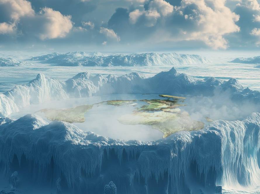
We first gathered all the necessary data from various scientific, historical, and artistic sources that align with the flat Earth model. According to the flat Earth theory, the Earth is a flat disc with the North Pole at the center and a boundary wall of ice (Antarctica) around the edge. This required a shift in thinking from traditional spherical geometry to the geometry of a plane.


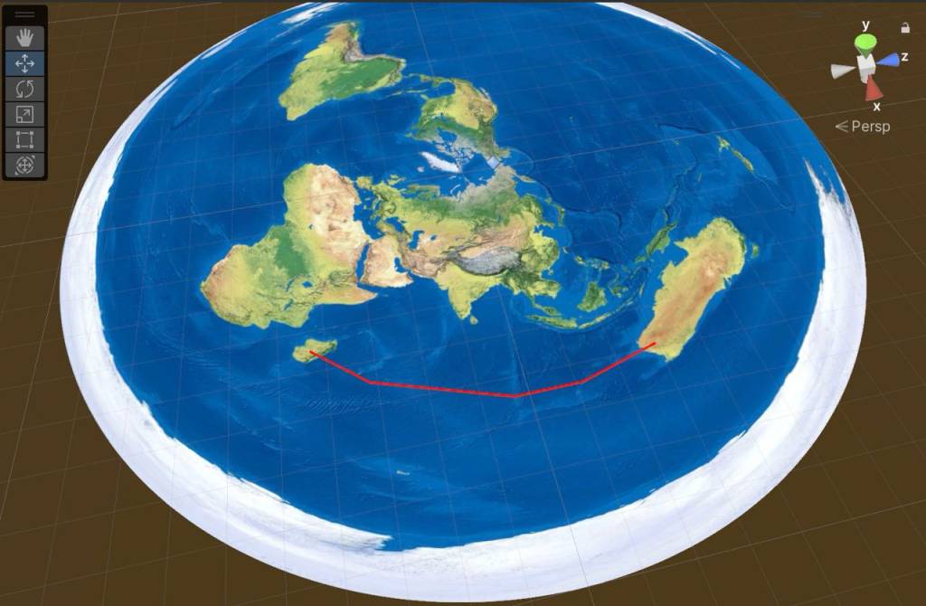
3D model on which we tested our hypotheses
Mapping the Surface
The surface of our model was designed to be a flat plane. We used cartographic mapping techniques but adapted them to fit a disc shape. We divided the plane into regions using longitude and latitude lines, similar to how it’s done on a globe, but translated these into a flat, disc-like layout.
Adding Terrain and Features
We added various terrains using heightmaps, which are grayscale images where different shades of grey represent different heights. The highest points, such as mountains, are lighter, while valleys and lowlands are darker. This method allowed us to generate a realistic surface for the Earth’s plane.
The most exciting phrase to hear in science, the one that heralds new discoveries, is not ‘Eureka!’ but ‘That’s funny…’ – Isaac Asimov
Atmosphere and Celestial Bodies
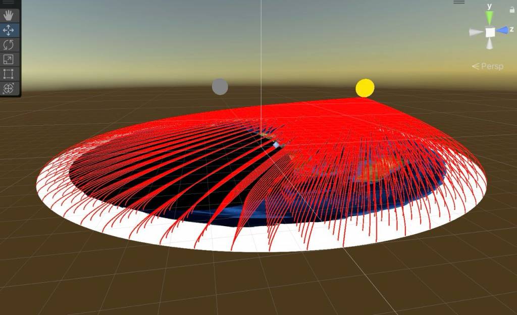
Next, we needed to model the atmosphere and celestial bodies like the sun, moon, and stars. According to flat Earth theory, the sun and moon are smaller and closer than traditionally thought, moving in circular paths above the Earth’s surface. We created these paths and programmed the sun and moon to follow them, also simulating daylight and night cycles.
User Interaction
Finally, we made the model interactive, allowing users to explore different regions of the flat Earth. They can zoom in and out, rotate the view, and switch between day and night modes to observe how the sun and moon affect different areas over time.
How it all began. Of course, the 3D model that is now in the application cannot be compared with what was at the start
Conclusion
By combining various scientific concepts, artistic techniques, and historical perspectives, we created a detailed and interactive 3D model of the flat Earth for the Flataverse app. This model offers a unique perspective and allows users to explore and understand the flat Earth theory in a visually engaging way.

